Decoding the Skies and Ground: Navigating the Differences Between Drone LiDAR and Terrestrial LiDAR with Drone Plan's Expertise
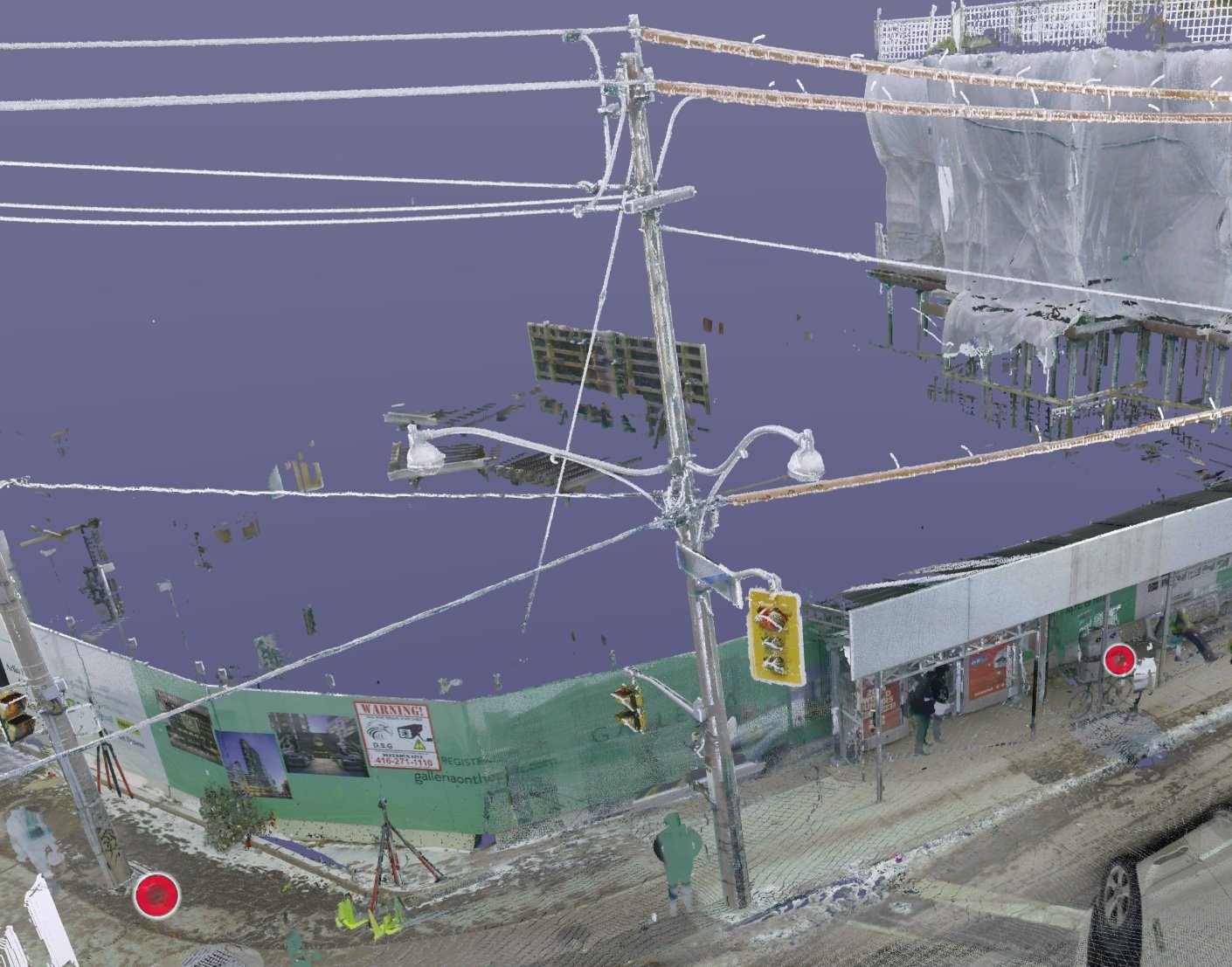
Embark on a journey to unravel the mysteries of LiDAR technology as we delve into the key distinctions between Drone LiDAR and Terrestrial LiDAR. In this insightful exploration, we at Drone Plan are your guides, providing a roadmap to help you discern which LiDAR solution aligns seamlessly with the unique demands of your project. From soaring aerial perspectives to ground-level precision, we break down the nuances, empowering you to make informed decisions. Join us in decoding the skies and ground, where every LiDAR pulse counts, and every detail shapes the success of your venture. Let's navigate the world of LiDAR together, unlocking its full potential for your project's triumph.

Sky-High Precision: Elevating Power Line Inspections with Drone-LIDAR
In the realm of power line inspections, a technological revolution is taking flight—literally. With drones and LIDAR technology joining forces, we witness a transformative synergy that transcends traditional methods. This excerpt delves into the sky-high precision achieved through this dynamic combination, exploring the realms of enhanced efficiency, unparalleled accuracy, and the promise of a more secure energy landscape. As we navigate this innovative era, these advancements not only redefine the standards of infrastructure monitoring but set the stage for a future where the very essence of power line inspections undergoes a remarkable metamorphosis. Welcome to the forefront of progress, where the horizon is limitless, and the power of technology propels us into a future of unprecedented excellence.

Transforming Volumetric Surveys with Drone Plan: Redefining Efficiency and Precision
Meet Drone Plan, the innovative company transforming volumetric surveys with cutting-edge drone technology. Our swift data capture, cost-efficiency, enhanced safety, and unmatched precision are setting new industry standards. With meticulous planning and a range of tailored sensors, we simplify data processing, ensuring accuracy and compliance. From construction site stockpiles to agriculture and environmental monitoring, Drone Plan's real-world impact is undeniable. Embrace the future of surveying with Drone Plan and unlock unparalleled efficiency and precision.

Exploring the Power of GIS: How Spatial Data and Drones Can Benefit You
Discover the limitless potential of GIS and drones as we unravel the mysteries of spatial data, providing valuable insights and unlocking a world of possibilities for better decision-making and resource management

Revolutionizing Design and Planning in Construction: The Role of Drones
Drones have revolutionized the design and planning phase of construction projects, providing architects and engineers with accurate data capture, precise 3D modeling, and informed site selection. #DroneTopography #DroneServices #GeospatialData #DroneDesignRevolution #AerialPlanningSolutions #ConstructionInnovation #Precise3DModeling #DronesInDesign #SiteSelectionAdvantage #EfficientPlanning #DroneAssistedArchitecture #OptimizedBuildingPlans #ConstructionTech #AerialDataCapture

Exploring the Fascinating World of Drone Topography with Assistance from Drone Plan
Discover the transformative power of drone topography with Drone Plan's comprehensive services, revolutionizing industries and enabling informed decision-making. #DroneTopography #DroneServices #GeospatialData

Revolutionizing Aerial Surveys: The Power of Photogrammetry in Drone Business
Photogrammetry, a revolutionary technology in the drone business, combines high-resolution imagery and advanced data processing to capture accurate 3D models, revolutionizing aerial surveys and opening up a world of possibilities for industries such as construction, environmental monitoring, mining, urban planning, and real estate in Canada and beyond

How Drone Services Can Transform Your Business: A Look into Drone Plan
In recent years, Canadian drone services, specifically those provided by Drone Plan, have revolutionized various industries by offering innovative solutions and expanding business capabilities. With cost savings of up to 50% in aerial inspections and 85% in surveying and mapping, businesses can enhance operations, reduce risks, and make informed decisions promptly. Furthermore, the use of drones in cinematography and photography can reduce production costs by 50%, providing businesses with captivating visual content. From environmental monitoring to infrastructure assessments, Drone Plan's drone services offer transformative benefits for businesses across Canada.

Drones: Building Trust - The Importance of Transparency to Stakeholders
Drones have become indispensable in providing transparency to stakeholders, offering a unique aerial perspective and valuable data that fosters trust, engagement, and accountability in today's business landscape.

Unleashing the Power of Drones: Facts, Benefits, and Cost Savings
Drones have emerged as game-changers, offering industries substantial cost savings while revolutionizing operations and unlocking new possibilities.

Revolutionizing Construction: How Drones are Transforming the Canadian Construction Industry
Drones have revolutionized the Canadian construction industry by providing accurate aerial surveying and mapping, enhancing site inspections and monitoring, improving construction documentation and communication, enabling precise measurement and quantity estimation, and facilitating progress tracking and project management, leading to increased efficiency, cost savings, and improved safety.
